Topographic Survey
A vintage survey quadrangle of a "loss landscape": brown contour lines with heavier labelled index contours, soft hillshade and woodland tint, a water-lined lake, a red dashed switchback trail and a full printed collar with scale bar and north arrow.
Namunaviy explainer
Ushbu video aynan quyidagi prompt yordamida yaratilgan namunaviy animatsiya (mavzu: mashinali o‘qitish qanday ishlaydi).
Hikoya qilish usuli
The loss landscape is literally the map: survey points (examples) raise the terrain, a red hiker guesses, checks the slope and steps down a dashed switchback trail while the camera pans along it, and accuracy is lettered in a map cartouche like an elevation figure.
Harakat (motion)
Printed plate by plate: the black frame and collar, then the grey hillshade, the green woodland sliding into register, the blue lake, then brown contours rising from the shore like a tide; streams trace downhill, names land, and the red trail walks itself down the switchbacks while the camera eases in.
Prompt
Promptni AI’ga joylang va MY CONTENT qismiga mavzuingizni yozing. Prompt ichida uslubning to‘liq manba kodi va ovoz effektlari to‘plami bor.
Faqat mavzuingiz asosida animatsiya. AI vaqtni o‘zi taqsimlaydi (odatda 12–30 soniya).
Yuklanmoqda…
Ovozli matningiz bor bo‘lsa: SRT yoki so‘zma-so‘z timestamp’larni joylang — animatsiya ovozga sinxron quriladi.
Yuklanmoqda…
Shu kategoriyadagi boshqa uslublar
Barcha uslublar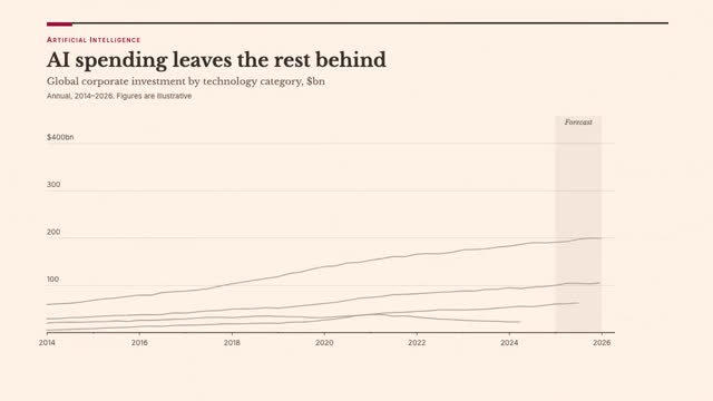 #26
Ma’lumot va infografika
Editorial Chart
A prestige-newspaper data graphic on FT salmon: serif headline and dek, hairline grid, one claret highlight series against quiet greys, direct labels and hand-annotated callouts, small-caps source line.
Prompt va videolar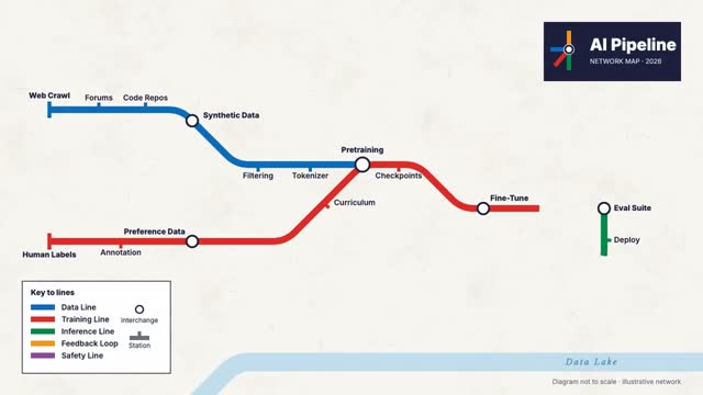 #48
Ma’lumot va infografika
Transit Map
A Beck-style metro diagram of an AI pipeline: fat coloured lines locked to 0/45/90 degrees with rounded bends, line-colour station ticks, black-ringed interchanges, a river and a boxed legend, all in clean sans lettering.
Prompt va videolar #55
Ma’lumot va infografika
ISOTYPE Pictograms
Vienna Method pictorial statistics: rows of identical flat pictograms where each symbol is a fixed quantity, partial symbols for remainders, three muted litho inks on a strict grid with geometric sans lettering.
Prompt va videolarObuna bo‘ling